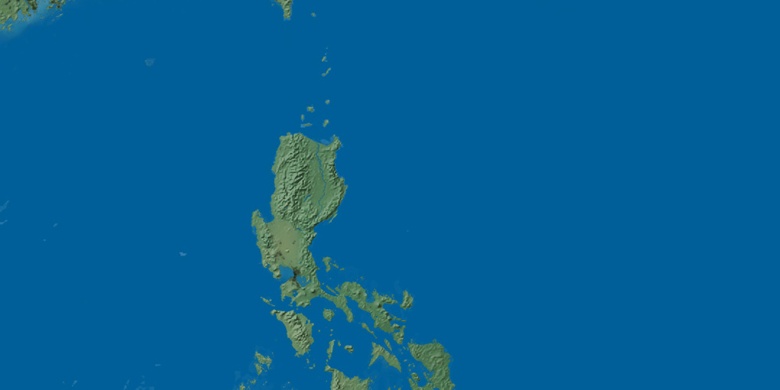
Ramos on map
Ramos (Central Luzon) , Philippines on map.
GPS coordinates: 15° 39' 55.1" North,
120° 38' 26.2" East.
» Time Zone, » Political map, » Natural map,
» Ramos on Night map & » Google map.
 Time
TimeRamos on timezone map:
Time Zone: GMT+08:00 = PST


Philippines, Ramos Political map


Natural map
Latitude Longitude: 15.6653, 120.6406

Ramos
Ramos on Night map