Budta on map
Budta (Autonomous Region in Muslim Mindanao) , Philippines on map.
GPS coordinates: 7° 12' 15" North,
124° 26' 23" East.
» Time Zone, » Political map, » Natural map,
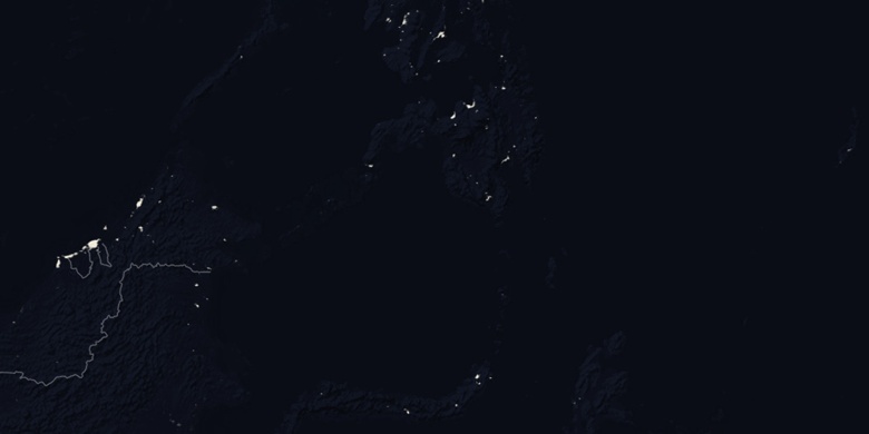
» Budta on Night map & » Google map.
 Time
TimeBudta on timezone map:
Time Zone: GMT+08:00 = PST


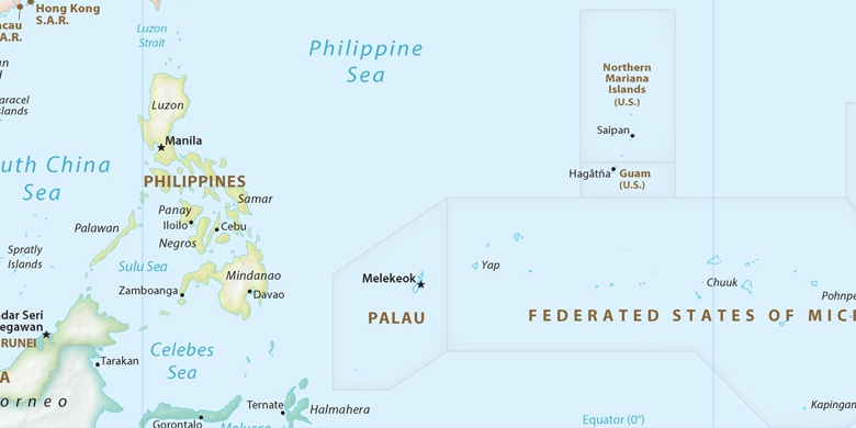
Philippines, Budta Political map

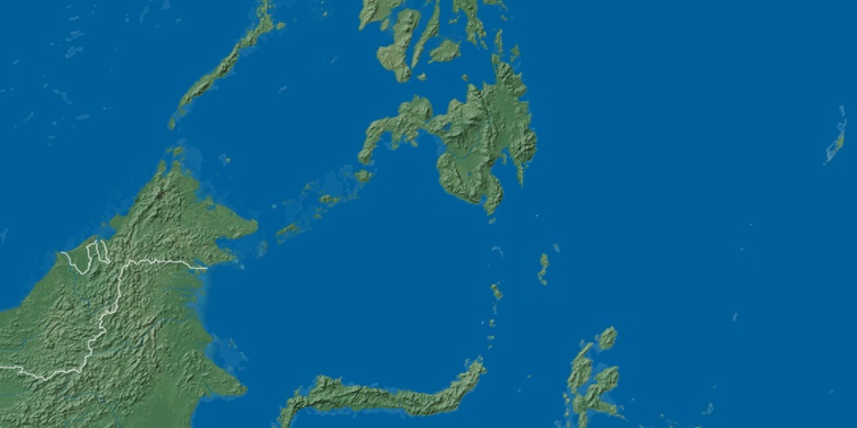
Natural map
Latitude Longitude: 7.20417, 124.43972

Budta
Budta on Night map