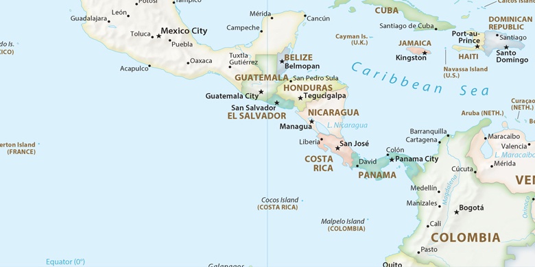
 Santo Tomás on map
Santo Tomás (Chontales
) , Nicaragua on map.
GPS coordinates: 12° 4' 9.8" North,
85° 5' 26.1" West.
» Time Zone, » Political map, » Natural map,
» Santo Tomás on Night map & » Google map.
 Time
TimeSanto Tomás on timezone map:
Time Zone: GMT-06:00 = CST


Nicaragua, Santo Tomás Political map

Natural map
Latitude Longitude: 12.06938, -85.09059


Santo Tomás
Santo Tomás on Night map

