Charlotte Amalie on map
Charlotte Amalie (Saint Thomas Island) , U.S. Virgin Islands on map.
GPS coordinates: 18° 20' 30.8" North,
64° 55' 50.5" West.
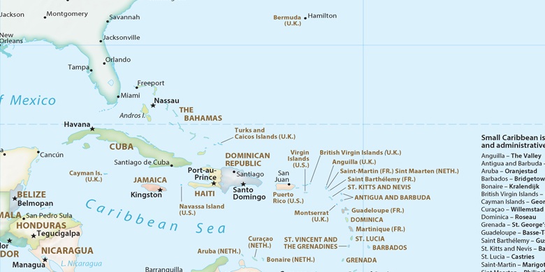
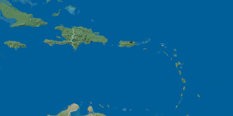
» Time Zone, » Political map, » Natural map,
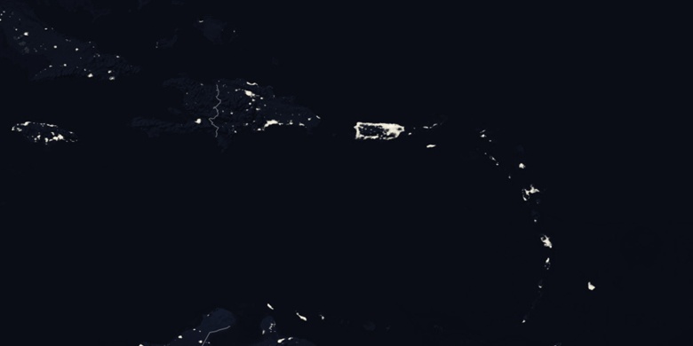
» Charlotte Amalie on Night map & » Google map.
 Time
TimeCharlotte Amalie on timezone map:
Time Zone: GMT-04:00 = AST


U.S. Virgin Islands, Charlotte Amalie Political map

Natural map
Latitude Longitude: 18.3419, -64.9307

Charlotte Amalie
Charlotte Amalie on Night map