Sterling Heights on map
Sterling Heights (Michigan) , United States on map.
GPS coordinates: 42° 34' 49.1" North,
83° 1' 48.7" West.
» Time Zone, » Political map, » Natural map,
» Sterling Heights on Night map & » Google map.
 Time
TimeSterling Heights on timezone map:
Time Zone: GMT-04:00 = EDT (±1 DST)


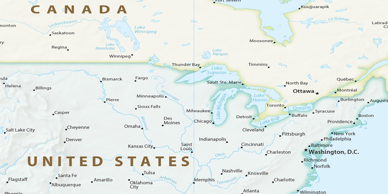
United States, Sterling Heights Political map

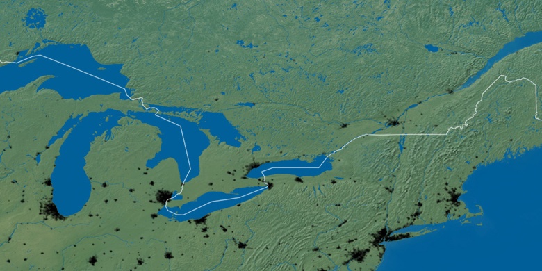
Natural map
Latitude Longitude: 42.58031, -83.0302

Sterling Heights
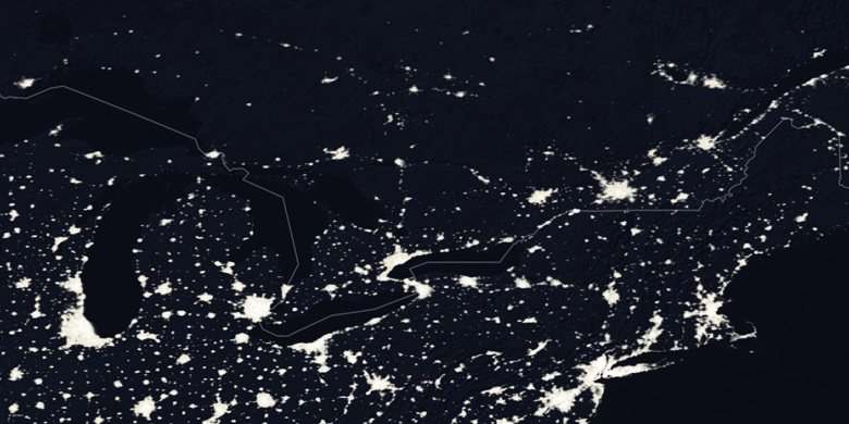
Sterling Heights on Night map