Pauls Valley on map
Pauls Valley (Oklahoma) , United States on map.
GPS coordinates: 34° 44' 24.3" North,
97° 13' 20.1" West.
» Time Zone, » Political map, » Natural map,
» Pauls Valley on Night map & » Google map.
 Time
TimePauls Valley on timezone map:
Time Zone: GMT-05:00 = CDT (±1 DST)


United States, Pauls Valley Political map


Natural map
Latitude Longitude: 34.74008, -97.22225
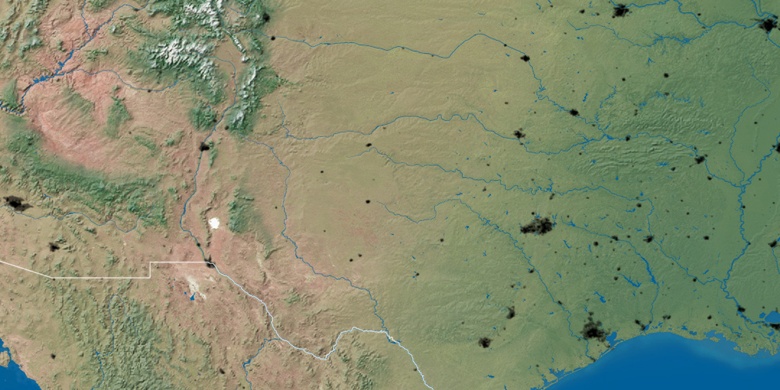

Pauls Valley
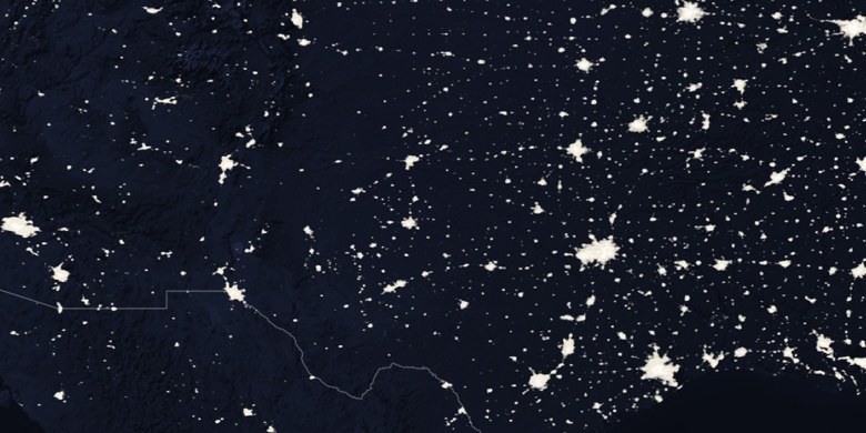
Pauls Valley on Night map