Paso Robles on map
Paso Robles (California) , United States on map.
GPS coordinates: 35° 37' 35.9" North,
120° 41' 27.6" West.
» Time Zone, » Political map, » Natural map,
» Paso Robles on Night map & » Google map.
 Time
TimePaso Robles on timezone map:
Time Zone: GMT-07:00 = PDT (±1 DST)


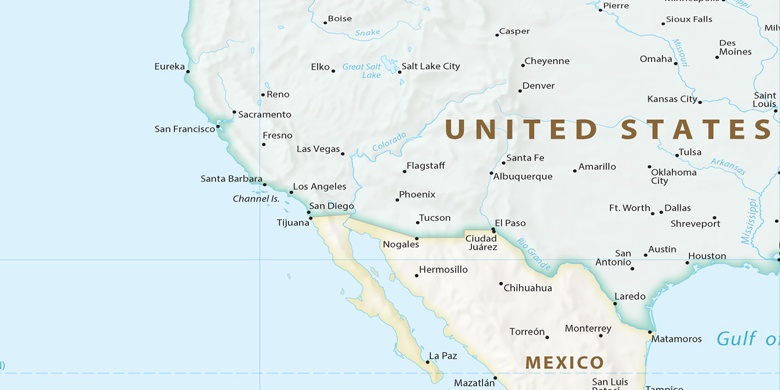
United States, Paso Robles Political map

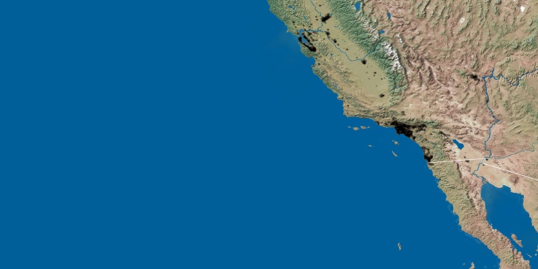
Natural map
Latitude Longitude: 35.62664, -120.691

Paso Robles
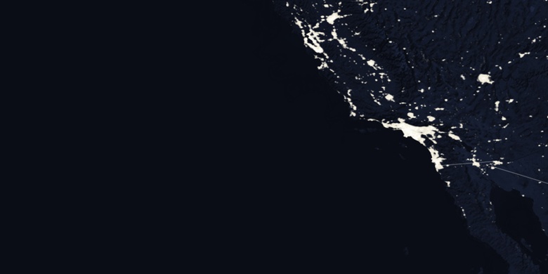
Paso Robles on Night map