Jamestown on map
Jamestown (Rhode Island) , United States on map.
GPS coordinates: 41° 29' 49.4" North,
71° 22' 2.2" West.
» Time Zone, » Political map, » Natural map,
» Jamestown on Night map & » Google map.
 Time
TimeJamestown on timezone map:
Time Zone: GMT-04:00 = EDT (±1 DST)


United States, Jamestown Political map
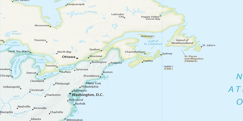

Natural map
Latitude Longitude: 41.49705, -71.36728

Jamestown
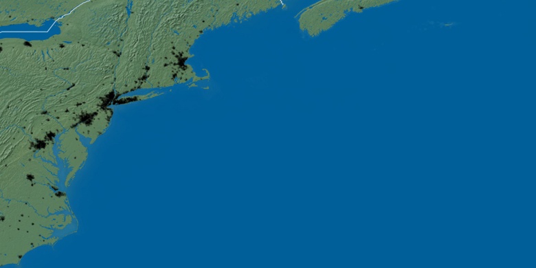
Jamestown on Night map