Independence on map
Independence (Oregon) , United States on map.
GPS coordinates: 44° 51' 4.4" North,
123° 11' 12.4" West.
» Time Zone, » Political map, » Natural map,
» Independence on Night map & » Google map.
 Time
TimeIndependence on timezone map:
Time Zone: GMT-07:00 = PDT (±1 DST)


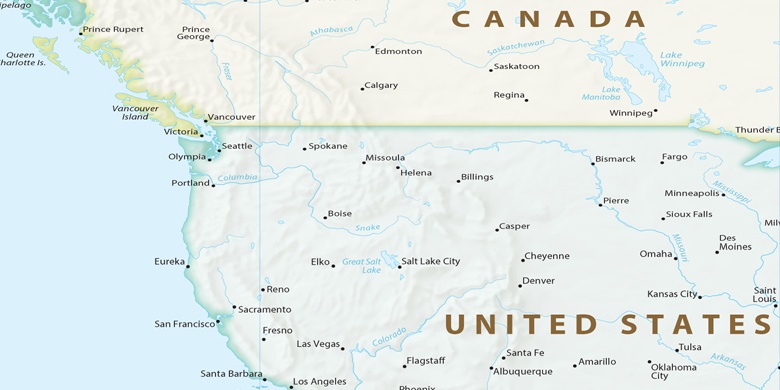
United States, Independence Political map

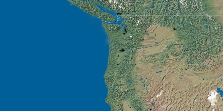
Natural map
Latitude Longitude: 44.85123, -123.18677

Independence
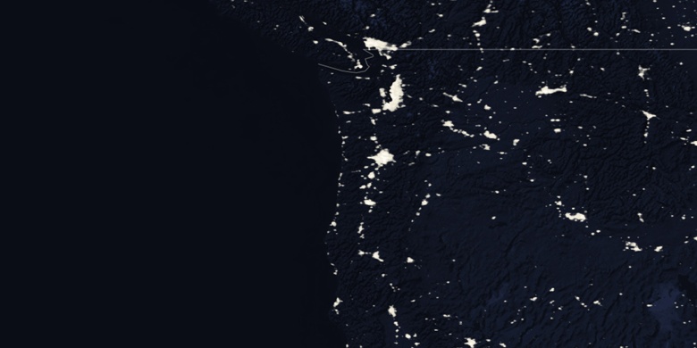
Independence on Night map