Independence on map
Independence (Missouri) , United States on map.
GPS coordinates: 39° 5' 28" North,
94° 24' 55.8" West.
» Time Zone, » Political map, » Natural map,
» Independence on Night map & » Google map.
 Time
TimeIndependence on timezone map:
Time Zone: GMT-05:00 = CDT (±1 DST)


United States, Independence Political map


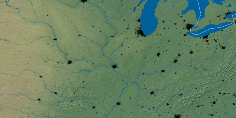
Natural map
Latitude Longitude: 39.09112, -94.41551

Independence
Independence on Night map