Durant on map
Durant (Oklahoma) , United States on map.
GPS coordinates: 33° 59' 38.4" North,
96° 22' 15" West.
» Time Zone, » Political map, » Natural map,
» Durant on Night map & » Google map.
 Time
TimeDurant on timezone map:
Time Zone: GMT-05:00 = CDT (±1 DST)


United States, Durant Political map


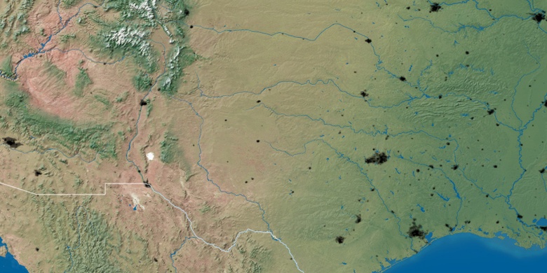
Natural map
Latitude Longitude: 33.99399, -96.37082

Durant
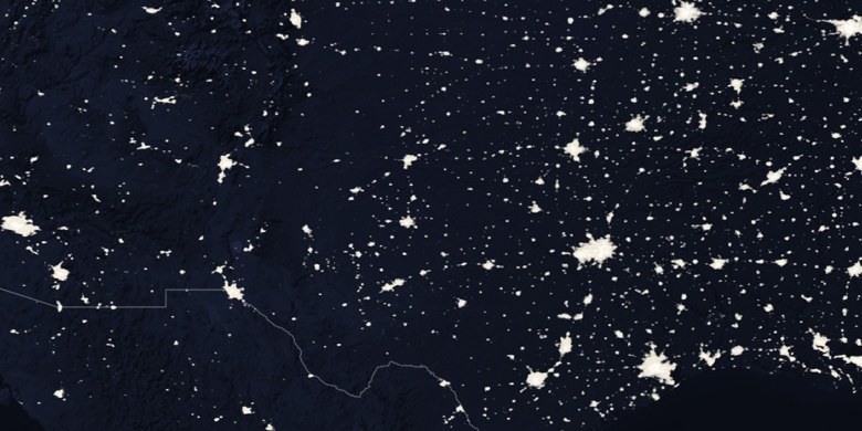
Durant on Night map