Dent on map
Dent (Ohio) , United States on map.
GPS coordinates: 39° 11' 9.2" North,
84° 39' 4.8" West.
» Time Zone, » Political map, » Natural map,
» Dent on Night map & » Google map.
 Time
TimeDent on timezone map:
Time Zone: GMT-04:00 = EDT (±1 DST)


United States, Dent Political map


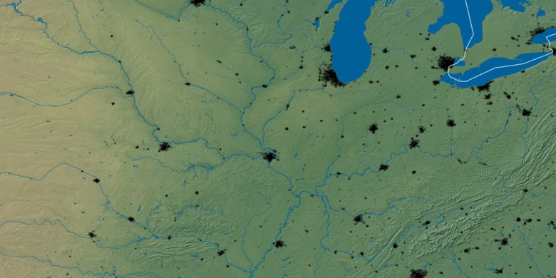
Natural map
Latitude Longitude: 39.18589, -84.65134

Dent
Dent on Night map