Decatur on map
Decatur (Alabama) , United States on map.
GPS coordinates: 34° 36' 21.3" North,
86° 59' 0" West.
» Time Zone, » Political map, » Natural map,
» Decatur on Night map & » Google map.
 Time
TimeDecatur on timezone map:
Time Zone: GMT-05:00 = CDT (±1 DST)


United States, Decatur Political map


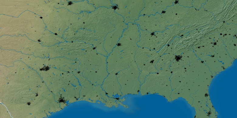
Natural map
Latitude Longitude: 34.60593, -86.98334

Decatur
Decatur on Night map