Columbus on map
Columbus (Mississippi) , United States on map.
GPS coordinates: 33° 29' 44.4" North,
88° 25' 38.1" West.
» Time Zone, » Political map, » Natural map,
» Columbus on Night map & » Google map.
 Time
TimeColumbus on timezone map:
Time Zone: GMT-05:00 = CDT (±1 DST)


United States, Columbus Political map


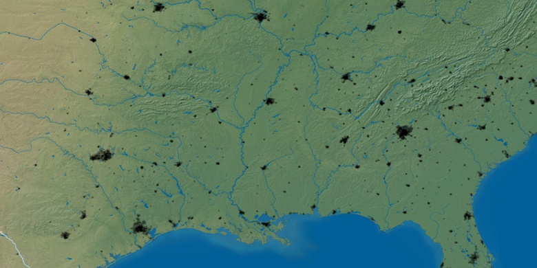
Natural map
Latitude Longitude: 33.49567, -88.42726

Columbus
Columbus on Night map