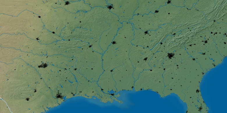
Columbus on map
Columbus (Georgia) , United States on map.
GPS coordinates: 32° 27' 39.5" North,
84° 59' 15.8" West.
» Time Zone, » Political map, » Natural map,
» Columbus on Night map & » Google map.
 Time
TimeColumbus on timezone map:
Time Zone: GMT-04:00 = EDT (±1 DST)


United States, Columbus Political map


Natural map
Latitude Longitude: 32.46098, -84.98771

Columbus
Columbus on Night map