Airway Heights on map
Airway Heights (Washington) , United States on map.
GPS coordinates: 47° 38' 40.6" North,
117° 35' 35.8" West.
» Time Zone, » Political map, » Natural map,
» Airway Heights on Night map & » Google map.
 Time
TimeAirway Heights on timezone map:
Time Zone: GMT-07:00 = PDT (±1 DST)


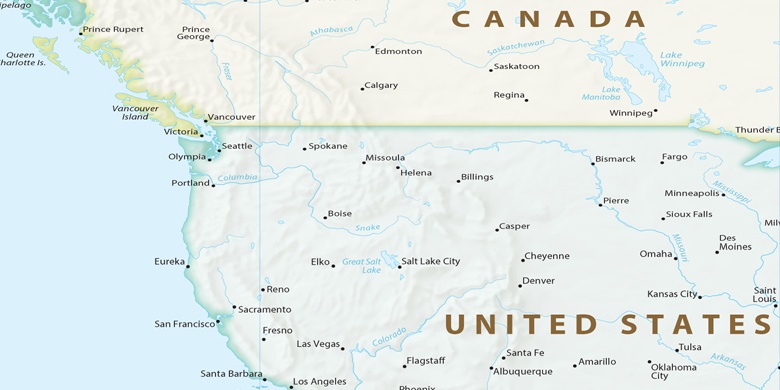
United States, Airway Heights Political map

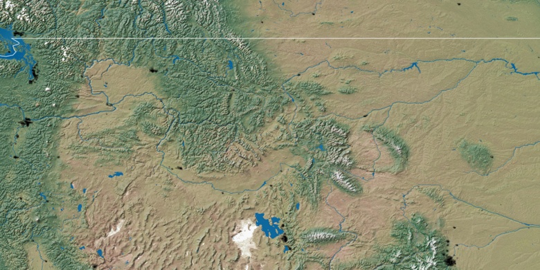
Natural map
Latitude Longitude: 47.64461, -117.59327

Airway Heights
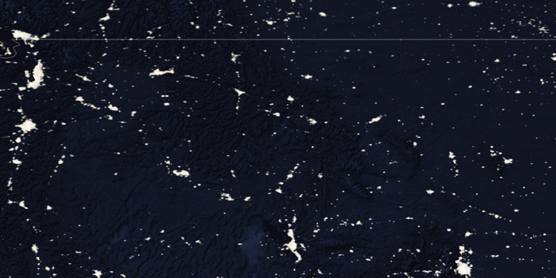
Airway Heights on Night map