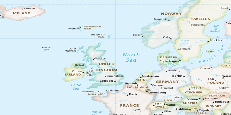
Briton Ferry on map
Briton Ferry (Wales) , United Kingdom on map.
GPS coordinates: 51° 37' 51.8" North,
3° 49' 8.3" West.
» Time Zone, » Political map, » Natural map,
» Briton Ferry on Night map & » Google map.
 Time
TimeBriton Ferry on timezone map:
Time Zone: GMT+01:00 = BST (±1 DST)


United Kingdom, Briton Ferry Political map

Natural map
Latitude Longitude: 51.63106, -3.81898
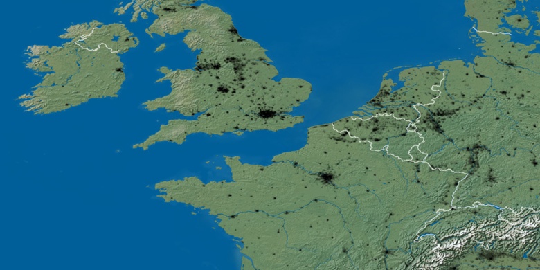

Briton Ferry
Briton Ferry on Night map