Tandaltī on map
Tandaltī (White Nile) , Sudan on map.
GPS coordinates: 13° 1' 0" North,
31° 52' 0" East.
» Time Zone, » Political map, » Natural map,
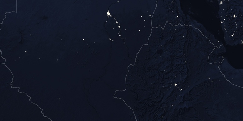
» Tandaltī on Night map & » Google map.
 Time
TimeTandaltī on timezone map:
Time Zone: GMT+02:00 = CAT


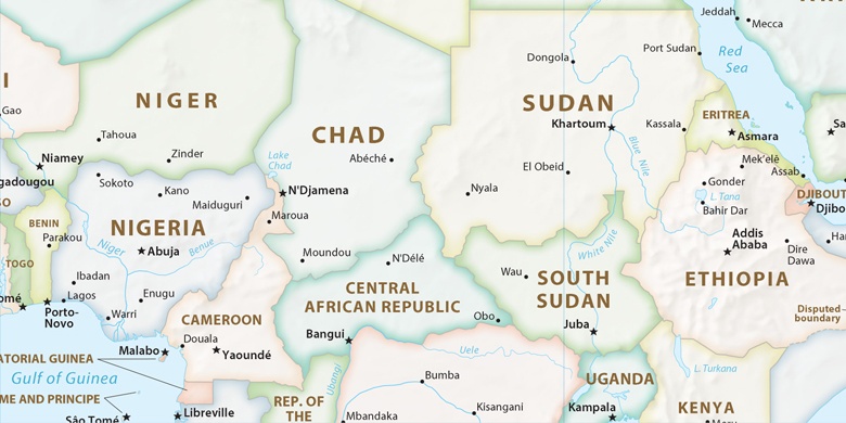
Sudan, Tandaltī Political map

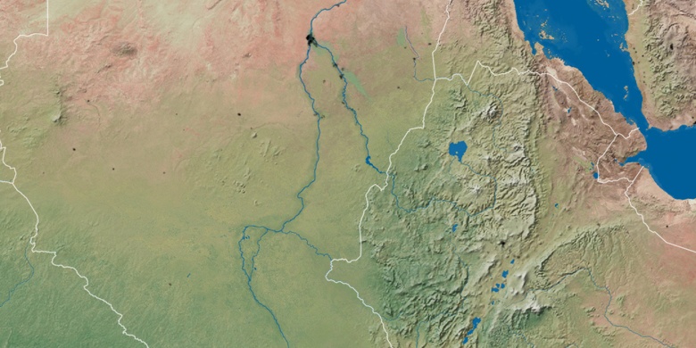
Natural map
Latitude Longitude: 13.01667, 31.86667

Tandaltī
Tandaltī on Night map