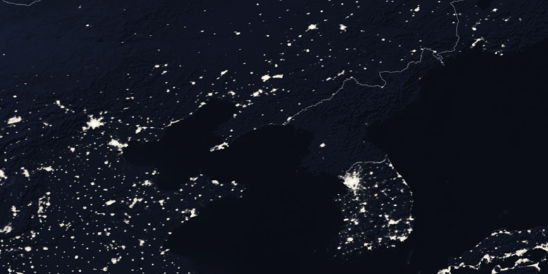
Gapyeong County on map
Gapyeong County (Gapyeong, Gyeonggi-do
) , South Korea on map.
GPS coordinates: 37° 49' 51.6" North,
127° 30' 38.1" East.
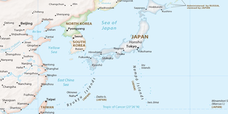
» Time Zone, » Political map, » Natural map,
» Gapyeong County on Night map & » Google map.
 Time
TimeGapyeong County on timezone map:
Time Zone: GMT+09:00 = KST


South Korea, Gapyeong County Political map

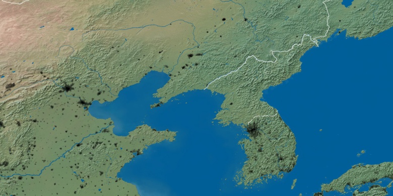
Natural map
Latitude Longitude: 37.83101, 127.51059

Gapyeong County
Gapyeong County on Night map