Richards Bay on map
Richards Bay (KwaZulu-Natal) , South Africa on map.
GPS coordinates: 28° 46' 58.8" South,
32° 2' 15.6" East.
» Time Zone, » Political map, » Natural map,
» Richards Bay on Night map & » Google map.
 Time
TimeRichards Bay on timezone map:
Time Zone: GMT+02:00 = SAST


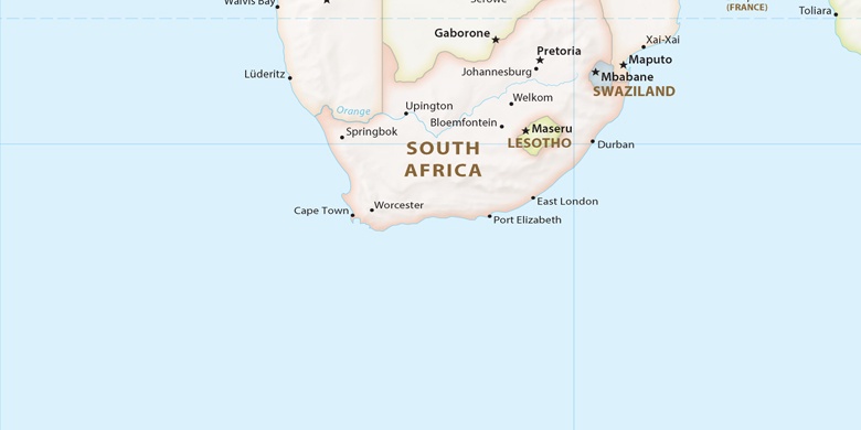
South Africa, Richards Bay Political map

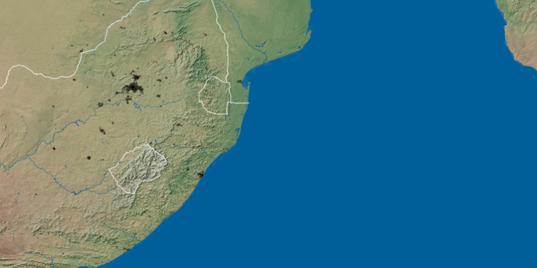
Natural map
Latitude Longitude: -28.78301, 32.03768

Richards Bay
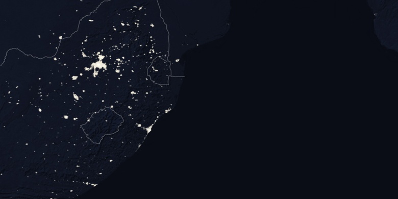
Richards Bay on Night map