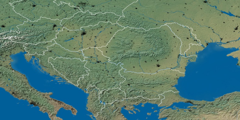
Ruma on map
Ruma (Autonomna Pokrajina Vojvodina) , Serbia on map.
GPS coordinates: 45° 0' 29" North,
19° 49' 20" East.
» Time Zone, » Political map, » Natural map,
» Ruma on Night map & » Google map.
 Time
TimeRuma on timezone map:
Time Zone: GMT+02:00 = CEST (±1 DST)


Serbia, Ruma Political map


Natural map
Latitude Longitude: 45.00806, 19.82222

Ruma
Ruma on Night map