Reda on map
Reda (Pomeranian Voivodeship) , Poland on map.
GPS coordinates: 54° 36' 19" North,
18° 20' 49.8" East.
» Time Zone, » Political map, » Natural map,
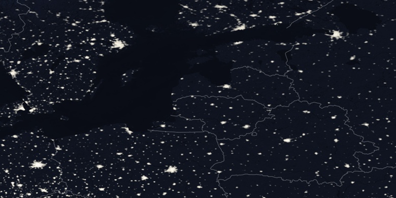
» Reda on Night map & » Google map.
 Time
TimeReda on timezone map:
Time Zone: GMT+02:00 = CEST (±1 DST)


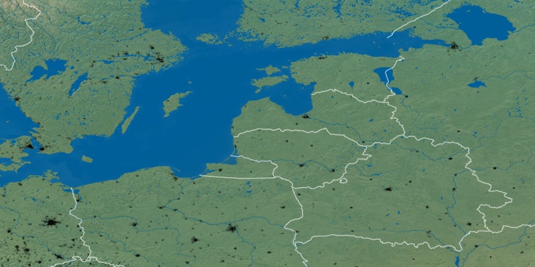
Poland, Reda Political map


Natural map
Latitude Longitude: 54.60528, 18.34717

Reda
Reda on Night map