Ostróda on map
Ostróda (Warmian-Masurian Voivodeship) , Poland on map.
GPS coordinates: 53° 41' 48.2" North,
19° 57' 53.5" East.
» Time Zone, » Political map, » Natural map,
» Ostróda on Night map & » Google map.
 Time
TimeOstróda on timezone map:
Time Zone: GMT+02:00 = CEST (±1 DST)


Poland, Ostróda Political map


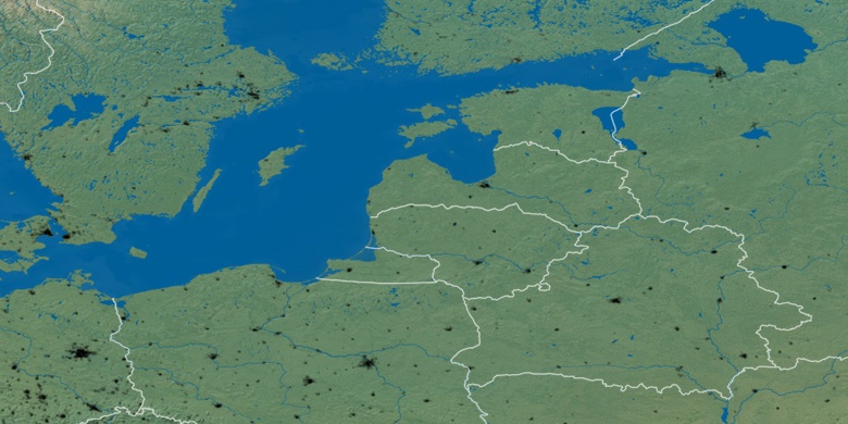
Natural map
Latitude Longitude: 53.69671, 19.96486

Ostróda
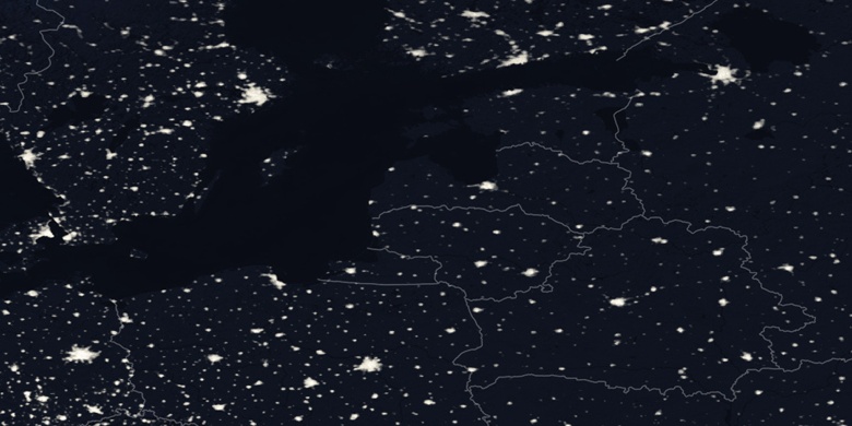
Ostróda on Night map