Jastrowie on map
Jastrowie (Greater Poland Voivodeship) , Poland on map.
GPS coordinates: 53° 25' 13.7" North,
16° 49' 3.2" East.
» Time Zone, » Political map, » Natural map,
» Jastrowie on Night map & » Google map.
 Time
TimeJastrowie on timezone map:
Time Zone: GMT+02:00 = CEST (±1 DST)


Poland, Jastrowie Political map


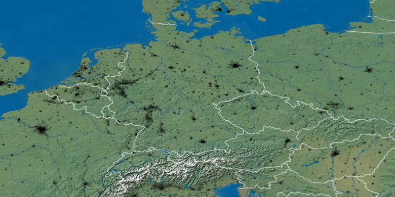
Natural map
Latitude Longitude: 53.42048, 16.81756

Jastrowie
Jastrowie on Night map