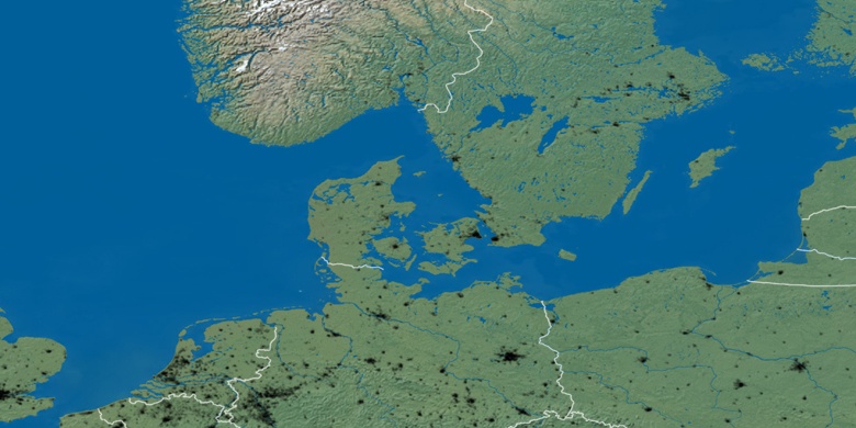
Drawsko Pomorskie on map
Drawsko Pomorskie (West Pomeranian Voivodeship) , Poland on map.
GPS coordinates: 53° 31' 50" North,
15° 48' 34.8" East.
» Time Zone, » Political map, » Natural map,
» Drawsko Pomorskie on Night map & » Google map.
 Time
TimeDrawsko Pomorskie on timezone map:
Time Zone: GMT+02:00 = CEST (±1 DST)


Poland, Drawsko Pomorskie Political map


Natural map
Latitude Longitude: 53.53056, 15.80967

Drawsko Pomorskie
Drawsko Pomorskie on Night map