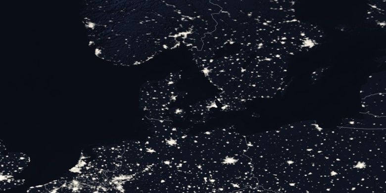
Darłowo on map
Darłowo (West Pomeranian Voivodeship) , Poland on map.
GPS coordinates: 54° 25' 15.4" North,
16° 24' 38.5" East.
» Time Zone, » Political map, » Natural map,
» Darłowo on Night map & » Google map.
 Time
TimeDarłowo on timezone map:
Time Zone: GMT+02:00 = CEST (±1 DST)


Poland, Darłowo Political map


Natural map
Latitude Longitude: 54.42095, 16.4107
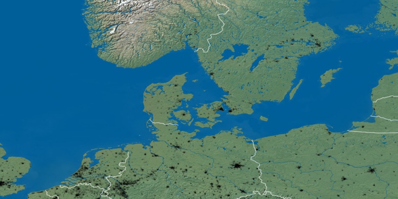

Darłowo
Darłowo on Night map