Tando Ghulām Ali on map
Tando Ghulām Ali (Sindh) , Pakistan on map.
GPS coordinates: 25° 7' 52" North,
68° 52' 3.3" East.
» Time Zone, » Political map, » Natural map,
» Tando Ghulām Ali on Night map & » Google map.
 Time
TimeTando Ghulām Ali on timezone map:
Time Zone: GMT+05:00 = PKT


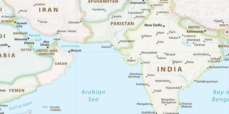
Pakistan, Tando Ghulām Ali Political map

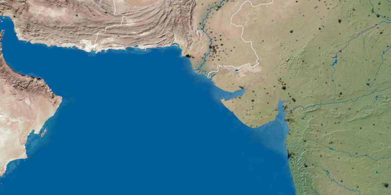
Natural map
Latitude Longitude: 25.13111, 68.86759

Tando Ghulām Ali
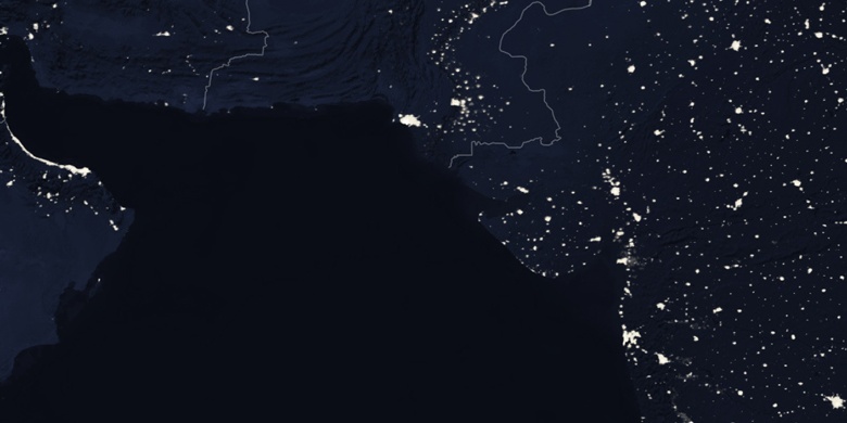
Tando Ghulām Ali on Night map