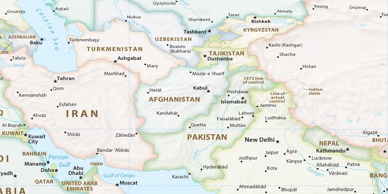
 Kohlu on map
Kohlu (Balochistān
) , Pakistan on map.
GPS coordinates: 29° 53' 46.1" North,
69° 15' 7.2" East.
» Time Zone, » Political map, » Natural map,
» Kohlu on Night map & » Google map.
 Time
TimeKohlu on timezone map:
Time Zone: GMT+05:00 = PKT


Pakistan, Kohlu Political map

Natural map
Latitude Longitude: 29.89615, 69.25199
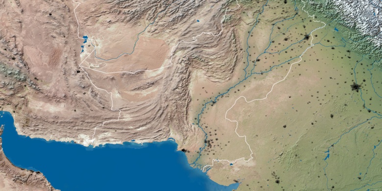

Kohlu
Kohlu on Night map

