Kāleke Mandi on map
Kāleke Mandi (Punjab
) , Pakistan on map.
GPS coordinates: 31° 58' 37.8" North,
73° 36' 9.3" East.
» Time Zone, » Political map, » Natural map,
» Kāleke Mandi on Night map & » Google map.
 Time
TimeKāleke Mandi on timezone map:
Time Zone: GMT+05:00 = PKT


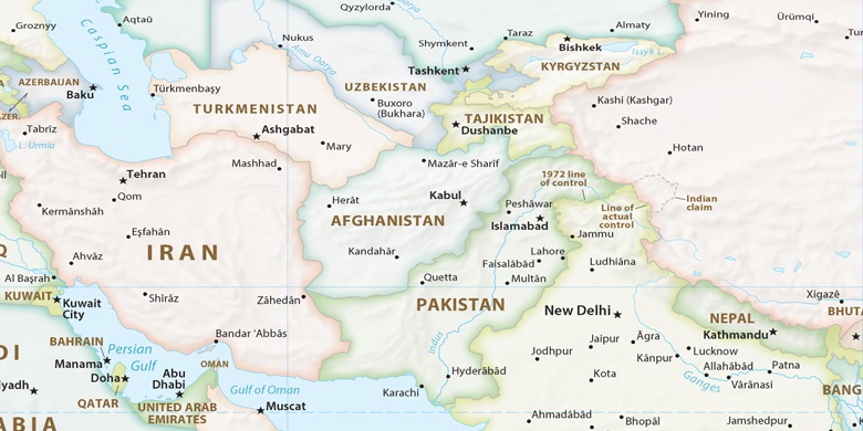
Pakistan, Kāleke Mandi Political map

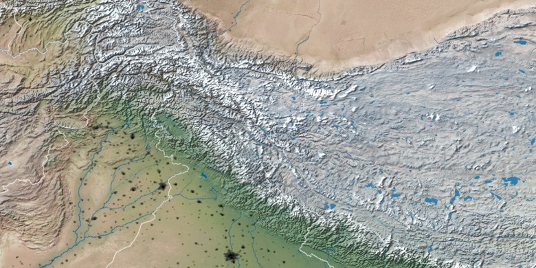
Natural map
Latitude Longitude: 31.97717, 73.60259

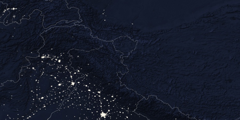
Kāleke Mandi
Kāleke Mandi on Night map