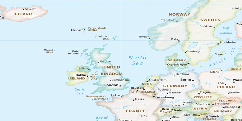
Borger on map
Borger (Drenthe) , Netherlands on map.
GPS coordinates: 52° 55' 24" North,
6° 47' 35" East.
» Time Zone, » Political map, » Natural map,
» Borger on Night map & » Google map.
 Time
TimeBorger on timezone map:
Time Zone: GMT+02:00 = CEST (±1 DST)


Netherlands, Borger Political map

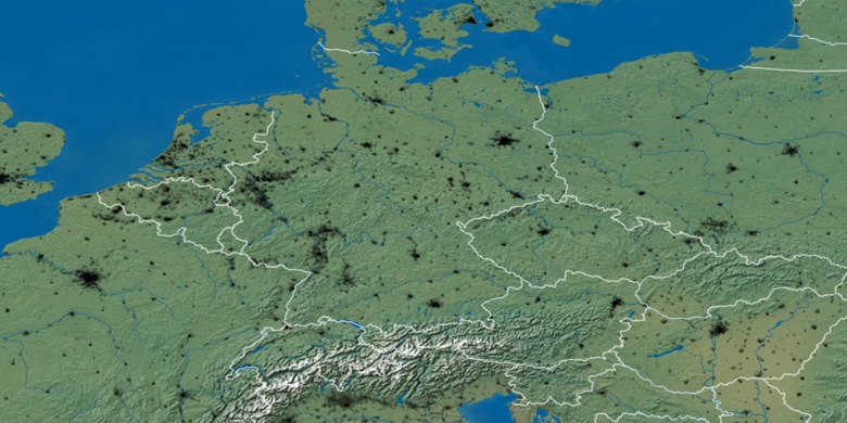
Natural map
Latitude Longitude: 52.92333, 6.79306

Borger
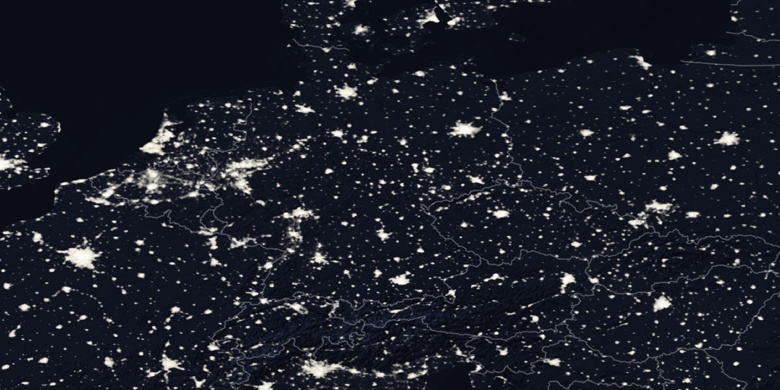
Borger on Night map