San Andrés Ocotlán on map
San Andrés Ocotlán (Morelos) , Mexico on map.
GPS coordinates: 19° 11' 34.7" North,
99° 35' 10" West.
» Time Zone, » Political map, » Natural map,
» San Andrés Ocotlán on Night map & » Google map.
 Time
TimeSan Andrés Ocotlán on timezone map:
Time Zone: GMT-06:00 = CST


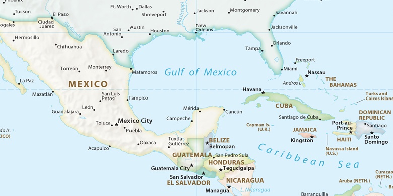
Mexico, San Andrés Ocotlán Political map

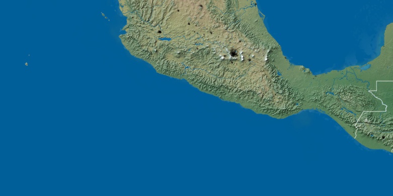
Natural map
Latitude Longitude: 19.19297, -99.58612

San Andrés Ocotlán
San Andrés Ocotlán on Night map