Arandas on map
Arandas (Jalisco) , Mexico on map.
GPS coordinates: 20° 42' 18.7" North,
102° 20' 46.9" West.
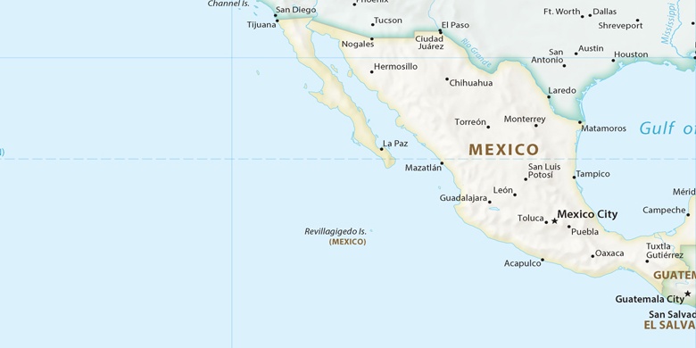
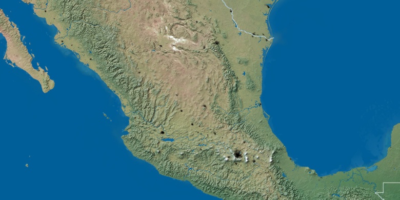
» Time Zone, » Political map, » Natural map,
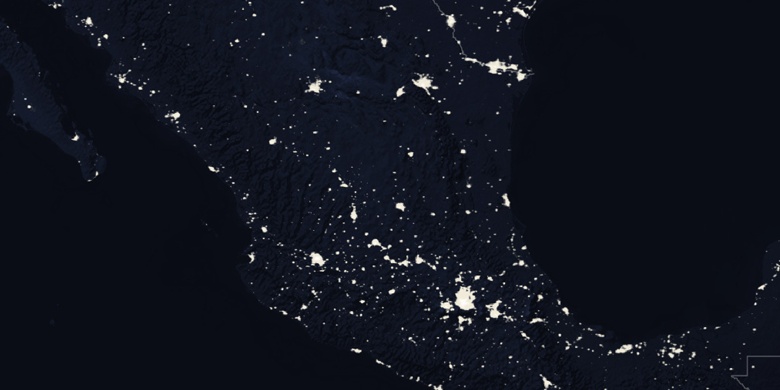
» Arandas on Night map & » Google map.
 Time
TimeArandas on timezone map:
Time Zone: GMT-06:00 = CST


Mexico, Arandas Political map

Natural map
Latitude Longitude: 20.70519, -102.34635

Arandas
Arandas on Night map