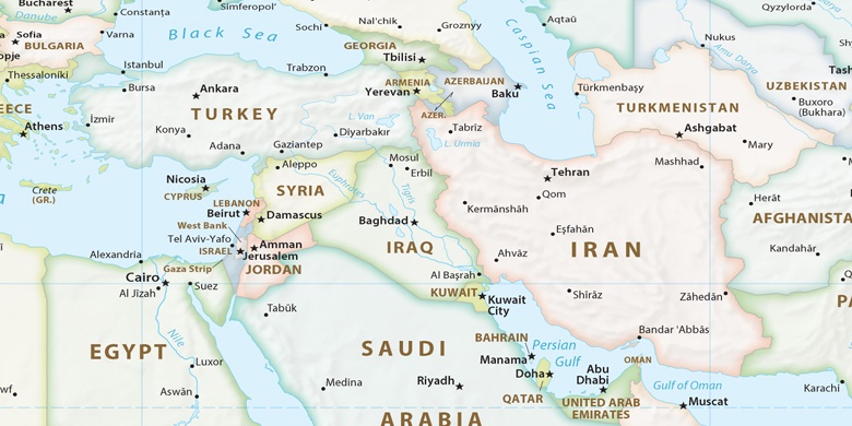
Kafr Kannā on map
Kafr Kannā (Northern District
) , Israel on map.
GPS coordinates: 32° 44' 47.8" North,
35° 20' 32.7" East.
» Time Zone, » Political map, » Natural map,
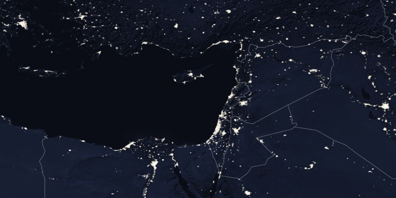
» Kafr Kannā on Night map & » Google map.
 Time
TimeKafr Kannā on timezone map:
Time Zone: GMT+03:00 = IDT (±1 DST)


Israel, Kafr Kannā Political map

Natural map
Latitude Longitude: 32.7466, 35.34242


Kafr Kannā
Kafr Kannā on Night map