Ruteng on map
Ruteng (East Nusa Tenggara
) , Indonesia on map.
GPS coordinates: 8° 36' 49" South,
120° 28' 19.6" East.
» Time Zone, » Political map, » Natural map,
» Ruteng on Night map & » Google map.
 Time
TimeRuteng on timezone map:
Time Zone: GMT+08:00 = WITA


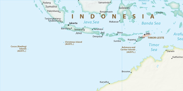
Indonesia, Ruteng Political map

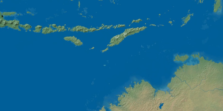
Natural map
Latitude Longitude: -8.6136, 120.4721

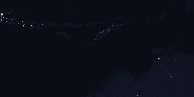
Ruteng
Ruteng on Night map