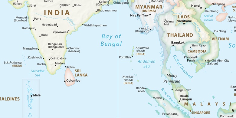
 Port Blair on map
Port Blair (Andaman and Nicobar Islands) , India on map.
GPS coordinates: 11° 40' 0" North,
92° 45' 0" East.
» Time Zone, » Political map, » Natural map,
» Port Blair on Night map & » Google map.
 Time
TimePort Blair on timezone map:
Time Zone: GMT+05:30 = IST


India, Port Blair Political map

Natural map
Latitude Longitude: 11.66667, 92.75


Port Blair
Port Blair on Night map

