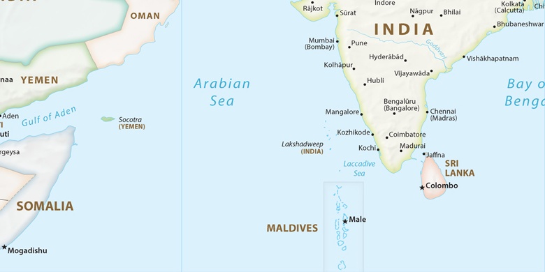
Nandyāl on map
Nandyāl (Andhra Pradesh) , India on map.
GPS coordinates: 15° 29' 19.6" North,
78° 29' 11.3" East.
» Time Zone, » Political map, » Natural map,
» Nandyāl on Night map & » Google map.
 Time
TimeNandyāl on timezone map:
Time Zone: GMT+05:30 = IST


India, Nandyāl Political map

Natural map
Latitude Longitude: 15.48879, 78.48648


Nandyāl
Nandyāl on Night map