Naihāti on map
Naihāti (West Bengal) , India on map.
GPS coordinates: 22° 53' 38.3" North,
88° 24' 54.8" East.
» Time Zone, » Political map, » Natural map,
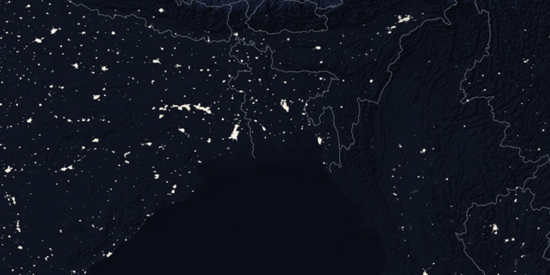
» Naihāti on Night map & » Google map.
 Time
TimeNaihāti on timezone map:
Time Zone: GMT+05:30 = IST


India, Naihāti Political map


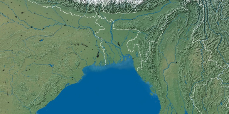
Natural map
Latitude Longitude: 22.89396, 88.41521

Naihāti
Naihāti on Night map