Malīhābād on map
Malīhābād (Uttar Pradesh) , India on map.
GPS coordinates: 26° 55' 20" North,
80° 42' 38.8" East.
» Time Zone, » Political map, » Natural map,
» Malīhābād on Night map & » Google map.
 Time
TimeMalīhābād on timezone map:
Time Zone: GMT+05:30 = IST


India, Malīhābād Political map


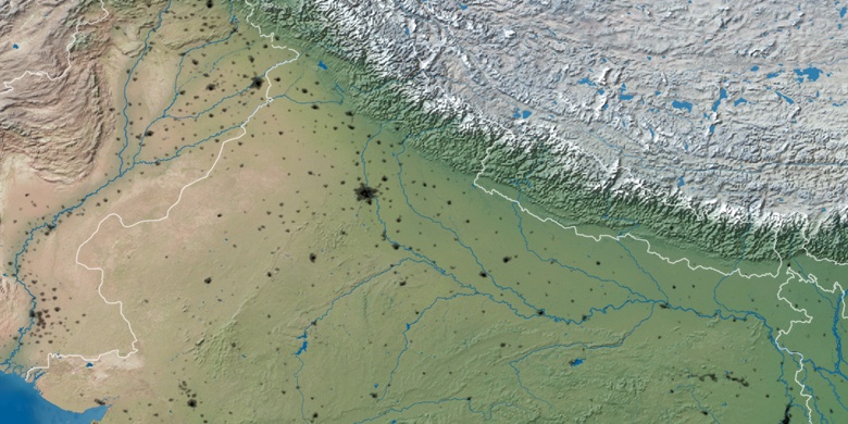
Natural map
Latitude Longitude: 26.92223, 80.71078

Malīhābād
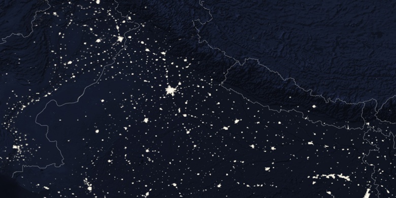
Malīhābād on Night map