Lāwar Khās on map
Lāwar Khās (Uttar Pradesh) , India on map.
GPS coordinates: 29° 6' 39.3" North,
77° 46' 39.6" East.
» Time Zone, » Political map, » Natural map,
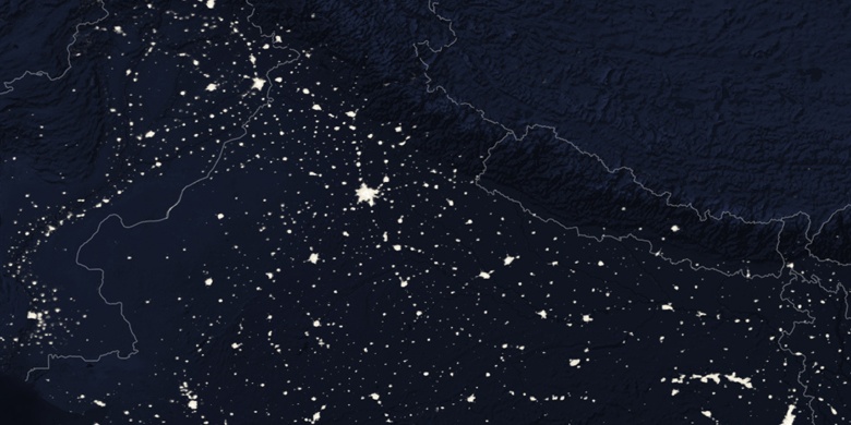
» Lāwar Khās on Night map & » Google map.
 Time
TimeLāwar Khās on timezone map:
Time Zone: GMT+05:30 = IST


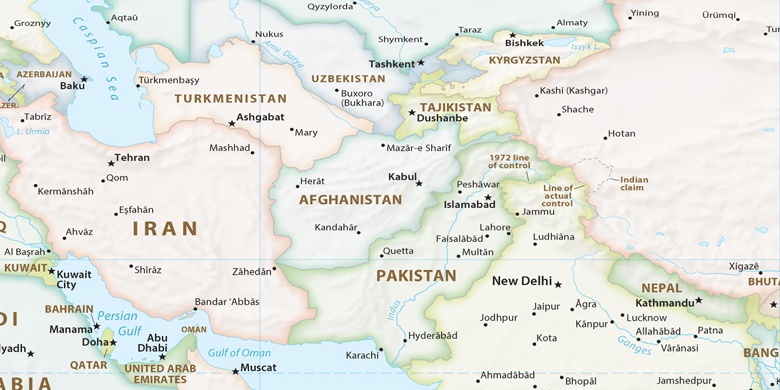
India, Lāwar Khās Political map

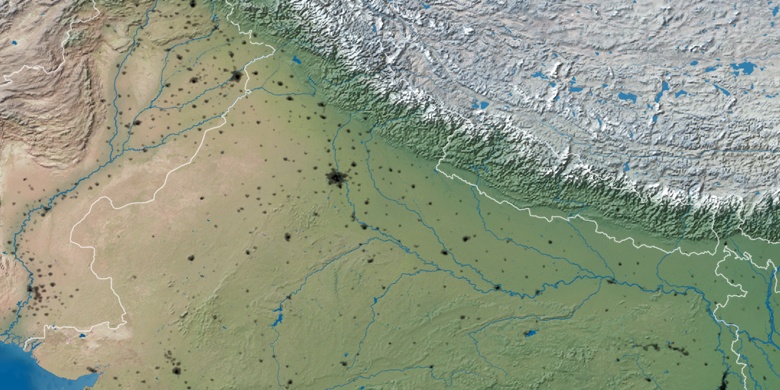
Natural map
Latitude Longitude: 29.11091, 77.77767

Lāwar Khās
Lāwar Khās on Night map