Kolāras on map
Kolāras (Madhya Pradesh) , India on map.
GPS coordinates: 25° 13' 9.9" North,
77° 36' 42.4" East.
» Time Zone, » Political map, » Natural map,
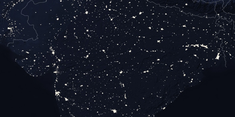
» Kolāras on Night map & » Google map.
 Time
TimeKolāras on timezone map:
Time Zone: GMT+05:30 = IST


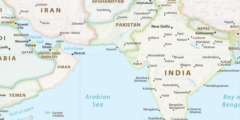
India, Kolāras Political map

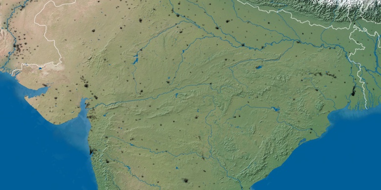
Natural map
Latitude Longitude: 25.21942, 77.61179

Kolāras
Kolāras on Night map