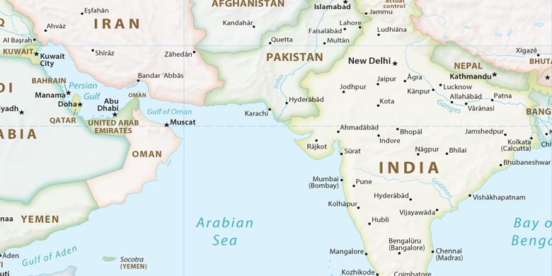
Khuldābād on map
Khuldābād (Maharashtra) , India on map.
GPS coordinates: 20° 0' 22.8" North,
75° 11' 31.7" East.
» Time Zone, » Political map, » Natural map,
» Khuldābād on Night map & » Google map.
 Time
TimeKhuldābād on timezone map:
Time Zone: GMT+05:30 = IST


India, Khuldābād Political map

Natural map
Latitude Longitude: 20.00633, 75.19213
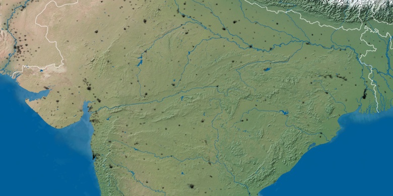

Khuldābād
Khuldābād on Night map