Kānor on map
Kānor (Rajasthan) , India on map.
GPS coordinates: 24° 26' 3.7" North,
74° 15' 55.7" East.
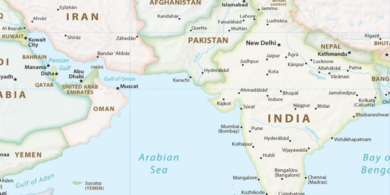
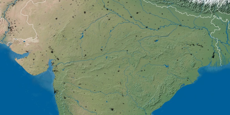
» Time Zone, » Political map, » Natural map,
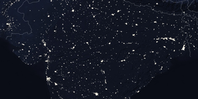
» Kānor on Night map & » Google map.
 Time
TimeKānor on timezone map:
Time Zone: GMT+05:30 = IST


India, Kānor Political map

Natural map
Latitude Longitude: 24.43437, 74.26546

Kānor
Kānor on Night map