Goyerkāta on map
Goyerkāta (West Bengal) , India on map.
GPS coordinates: 26° 41' 59.4" North,
89° 1' 32.3" East.
» Time Zone, » Political map, » Natural map,
» Goyerkāta on Night map & » Google map.
 Time
TimeGoyerkāta on timezone map:
Time Zone: GMT+05:30 = IST


India, Goyerkāta Political map


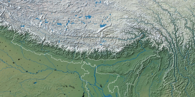
Natural map
Latitude Longitude: 26.69984, 89.02565

Goyerkāta
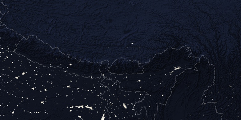
Goyerkāta on Night map