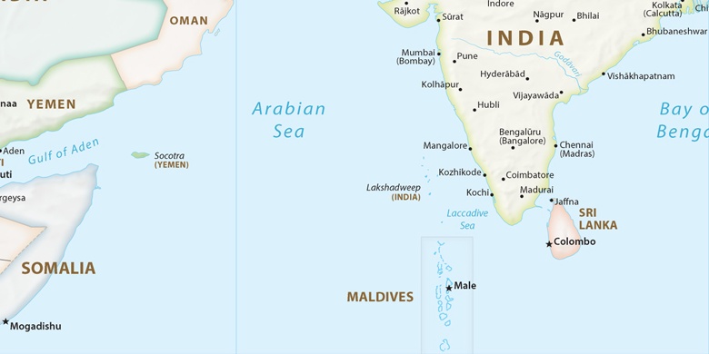
Erāttupetta on map
Erāttupetta (Kerala) , India on map.
GPS coordinates: 9° 41' 60" North,
76° 46' 60" East.
» Time Zone, » Political map, » Natural map,
» Erāttupetta on Night map & » Google map.
 Time
TimeErāttupetta on timezone map:
Time Zone: GMT+05:30 = IST


India, Erāttupetta Political map

Natural map
Latitude Longitude: 9.7, 76.78333
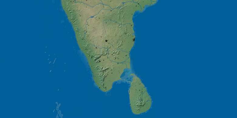

Erāttupetta
Erāttupetta on Night map