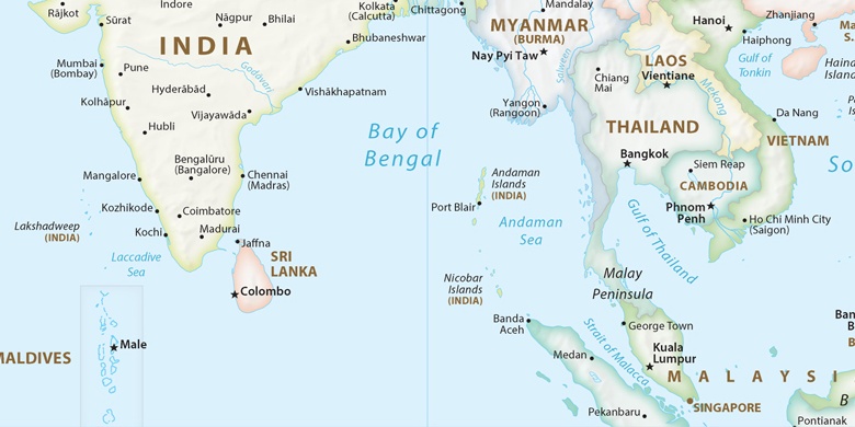
Elūru on map
Elūru (Andhra Pradesh) , India on map.
GPS coordinates: 16° 42' 39" North,
81° 6' 20.1" East.
» Time Zone, » Political map, » Natural map,
» Elūru on Night map & » Google map.
 Time
TimeElūru on timezone map:
Time Zone: GMT+05:30 = IST


India, Elūru Political map

Natural map
Latitude Longitude: 16.71084, 81.10559


Elūru
Elūru on Night map