Szentes on map
Szentes (Csongrád
) , Hungary on map.
GPS coordinates: 46° 39' 22.6" North,
20° 16' 19.2" East.
» Time Zone, » Political map, » Natural map,
» Szentes on Night map & » Google map.
 Time
TimeSzentes on timezone map:
Time Zone: GMT+02:00 = CEST (±1 DST)


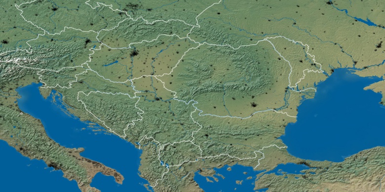
Hungary, Szentes Political map


Natural map
Latitude Longitude: 46.65627, 20.27201

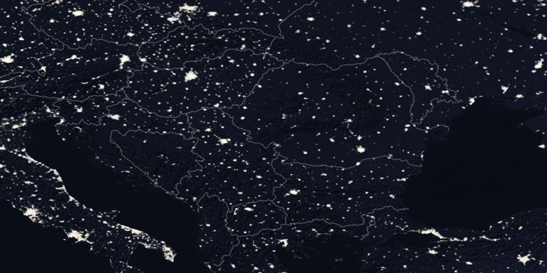
Szentes
Szentes on Night map