Kenderes on map
Kenderes (Jász-Nagykun-Szolnok
) , Hungary on map.
GPS coordinates: 47° 15' 0" North,
20° 40' 60" East.
» Time Zone, » Political map, » Natural map,
» Kenderes on Night map & » Google map.
 Time
TimeKenderes on timezone map:
Time Zone: GMT+02:00 = CEST (±1 DST)


Hungary, Kenderes Political map


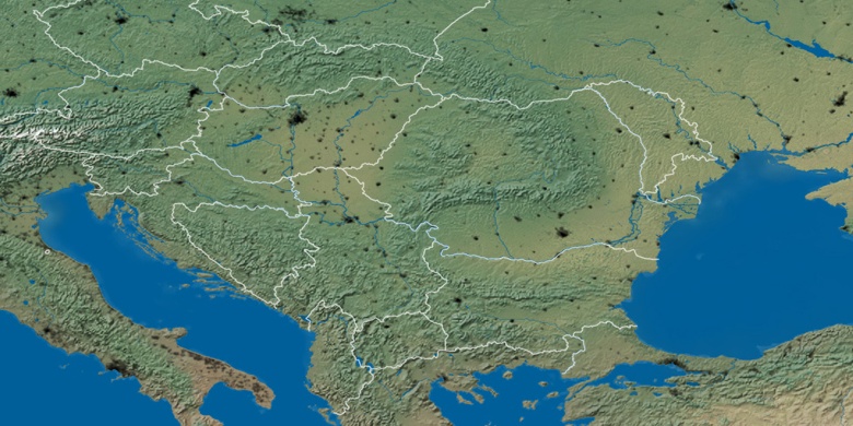
Natural map
Latitude Longitude: 47.25, 20.68333

Kenderes
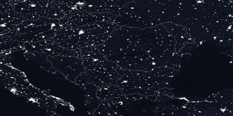
Kenderes on Night map