Saint-Loubès on map
Saint-Loubès (Aquitaine) , France on map.
GPS coordinates: 44° 54' 55.3" North,
0° 25' 37.3" West.
» Time Zone, » Political map, » Natural map,
» Saint-Loubès on Night map & » Google map.
 Time
TimeSaint-Loubès on timezone map:
Time Zone: GMT+02:00 = CEST (±1 DST)


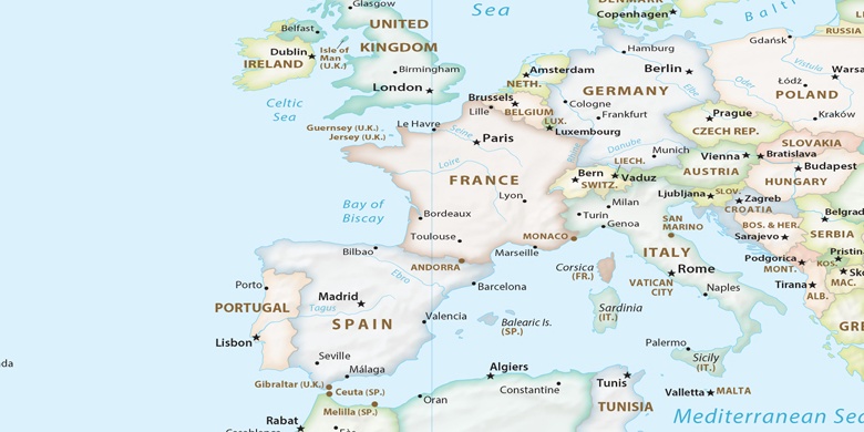
France, Saint-Loubès Political map

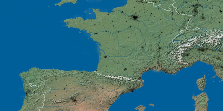
Natural map
Latitude Longitude: 44.91536, -0.42703

Saint-Loubès
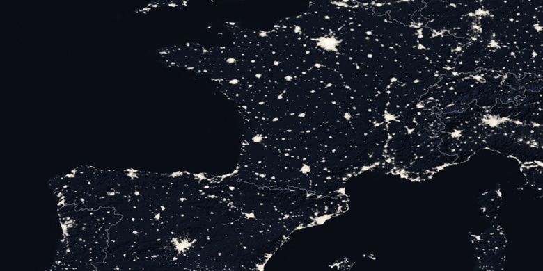
Saint-Loubès on Night map