Kristinestad on map
Kristinestad (Ostrobothnia) , Finland on map.
GPS coordinates: 62° 16' 27.4" North,
21° 22' 33.5" East.
» Time Zone, » Political map, » Natural map,
» Kristinestad on Night map & » Google map.
 Time
TimeKristinestad on timezone map:
Time Zone: GMT+03:00 = EEST (±1 DST)


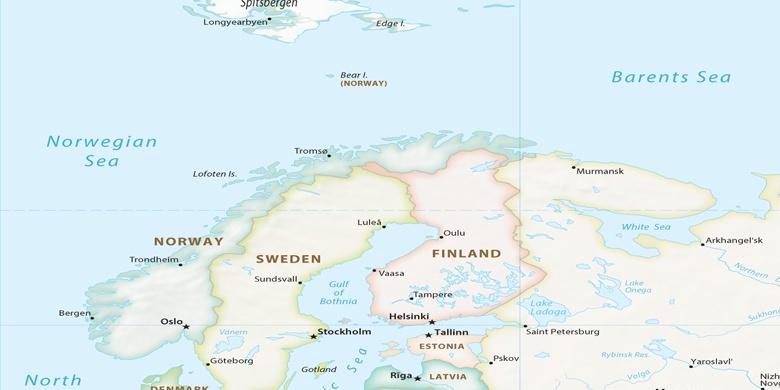
Finland, Kristinestad Political map

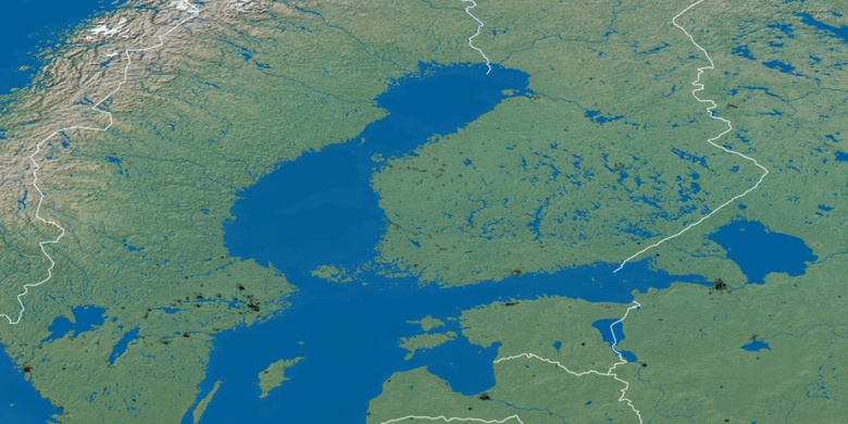
Natural map
Latitude Longitude: 62.27429, 21.37596

Kristinestad
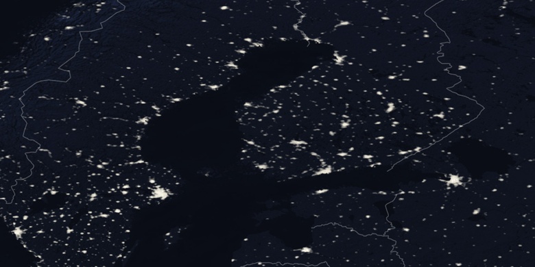
Kristinestad on Night map