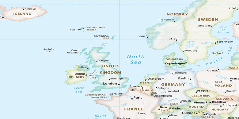
Brande on map
Brande (Central Jutland) , Denmark on map.
GPS coordinates: 55° 56' 17.3" North,
9° 7' 18.4" East.
» Time Zone, » Political map, » Natural map,
» Brande on Night map & » Google map.
 Time
TimeBrande on timezone map:
Time Zone: GMT+02:00 = CEST (±1 DST)


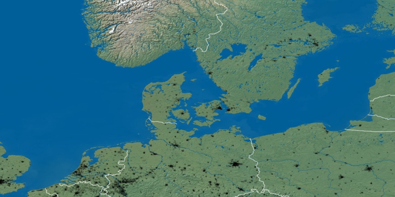
Denmark, Brande Political map

Natural map
Latitude Longitude: 55.93814, 9.12178

Brande
Brande on Night map